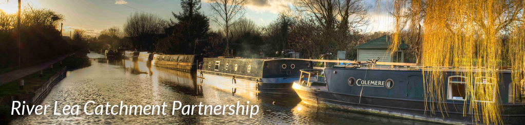
Welcome to the website of the Lea Catchment Partnerships – bringing together people and projects for the benefit of the River Lea and its tributaries.
The River Lea and its tributaries - the Mimram, Beane, Ash, Rib, Quin and Stort - drain over 1000 km2 of south-east England. These rivers include rare and precious chalk streams, canals and navigations, and urban watercourses. To find out more about the rivers, the catchment partnerships, and to view the catchment plans, please navigate using the map opposite or the menu bars above.
Latest news
18/04/24
– Upper Lea news
River Lea Catchment Conference 2024
The River Lea Catchment Conference was held on Wednesday20th March 2024. It gave an opportunity for anyone interested in the chalk rivers of Hertfordshire and Middlesex to find out about some of the initiatives over the last two years to improve freshwater habitats locally and regionally. Read more ...
26/03/24
– Upper Lea news
Thames Water - Water Quality Update Winter 2023/4
The Winter 2023/4 Water Quality Update for the River Lea and tributaries can be read here
12/03/24
– Upper Lea news
River Lea Catchment Partnership Conference
There is a River Lea Catchment Partnership Meeting on Wednesday 20th March 2024, 6.00pm – 9.30pm at Welwyn Civic Centre.
For further details see Lea Conference Invite & Agenda
![]()
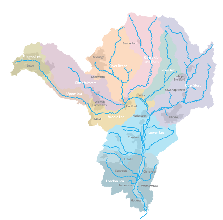
Roll over the map to highlight a river catchment, click to view information for that river and view the projects and their progress.

A fantastic citizen science scheme helping local volunteers monitor the water quality of their local river